Great Platte River
Expedition
In June 1842, John Charles Frémont organized 21 Creole and Canadian voyageurs familiar with the prairie for an expedition. Departing from St. Louis, they traveled through the modern states of Nebraska, Colorado, and Wyoming, surveying and mapping the westward route that later became the Oregon Trail. The group moved along the forks of the Platte River, a tributary of the Missouri River that extends more than 300 miles through the state of Nebraska. Frémont and his team of explorers traversed the riverbank and the surrounding expanse of verdant prairie. On August 15, 1842 Frémont, accompanied by five other men, climbed the highest peak of the Wind River Chain, in the Rocky Mountains, planted the American flag, and gave the peak his name.
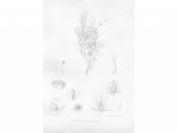
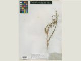
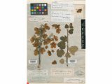
In 1843, Frémont published, by order of the U.S. Senate, A report on an exploration of the country between the Missouri River and the Rocky Mountains, on the line of the Kansas and Great Platte Rivers. More than fifteen pages were dedicated to a “Catalogue of Plants Collected by Lt. Frémont in his Expeditions to the Rocky Mountains,” which was written by John Torrey.
1842 Expedition
Images: William Jewett Smith. John Charles Frémont, 1852.
View of wind River Mountain Range. In Report of the Exploring Expedition to the Rocky Mountains in the year 1842, and to Oregon and North California in the years 1843-44. Washington: Gales and Seaton, printers, 1845. LuEsther T. Mertz Library, The New York Botanical Garden.


